
It's just snow.
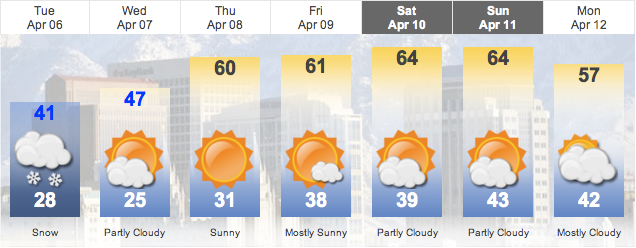
"A major storm system is forecast to hit the Wasatch Front around 2:30 pm this afternoon. Ahead of the front, mild very gusty southerly winds will be followed by high west to northwest winds and a quick changeover from rain to snow. There is the possibility for isolated thundershowers and microburst winds. As the front moves eastward, cold air and a lot of moisture will bank up against the Wasatch Mountains and the cold air will move over the relatively warm waters of the Great Salt Lake. The bulls eye for greatest snowfall will be Davis and Salt Lake County (with the Bench areas possibly receiving up to or even over 12 inches by Tuesday afternoon. This is a serious winter storm that will disrupt travel through the mountains and cause near blizzard conditions over mountain passes, and finally it will be a morning commute problem for the Wasatch Front on Tuesday. By the middle and end of the week, expect a warm up and a drying trend. We'll actually see temperatures over 60 degrees by Friday!"
- Meteorologist Dan Pope, Live 5 Weather HD, Monday April 5th 2010 -
This is Utah after all.

2 comments:
yeah... i laughed when i read that yesterday. then i did NOT laugh when i walked outside to eight inched of snow.
but i'm just pretending like it isn't there. that makes me feel just a little better. :)
the best part about that post is that it's even weirder when we have weather like that at the end of May...maybe waiting to comment was a good thing ;)
frift - fluffy snow drift
Post a Comment